FROM AIM TO ANSWERS
Efficient application of drone technology for a specific aim requires that you carefully consider the whole process from your question, over data collection and data processing, to the data products you envision will full fill you aim.
In the Application initiative we provide guidance and possible solutions for the whole process, and therefore provide both:
A possible list of considerations could be:
- Where and how larger an area do I need to cover? At what resolution?
- Do I need spectral, textural, or point-could information?
- How many ground control points are needed to assure high accuracy and precision?
- What ground truth data do I need to collect? How much?
- How do I process and analyse the collected images or point-cloud to derive the data products I aim for?
- Do I need commercial software? Do I have the computation power needed? The skills required for the analyses?
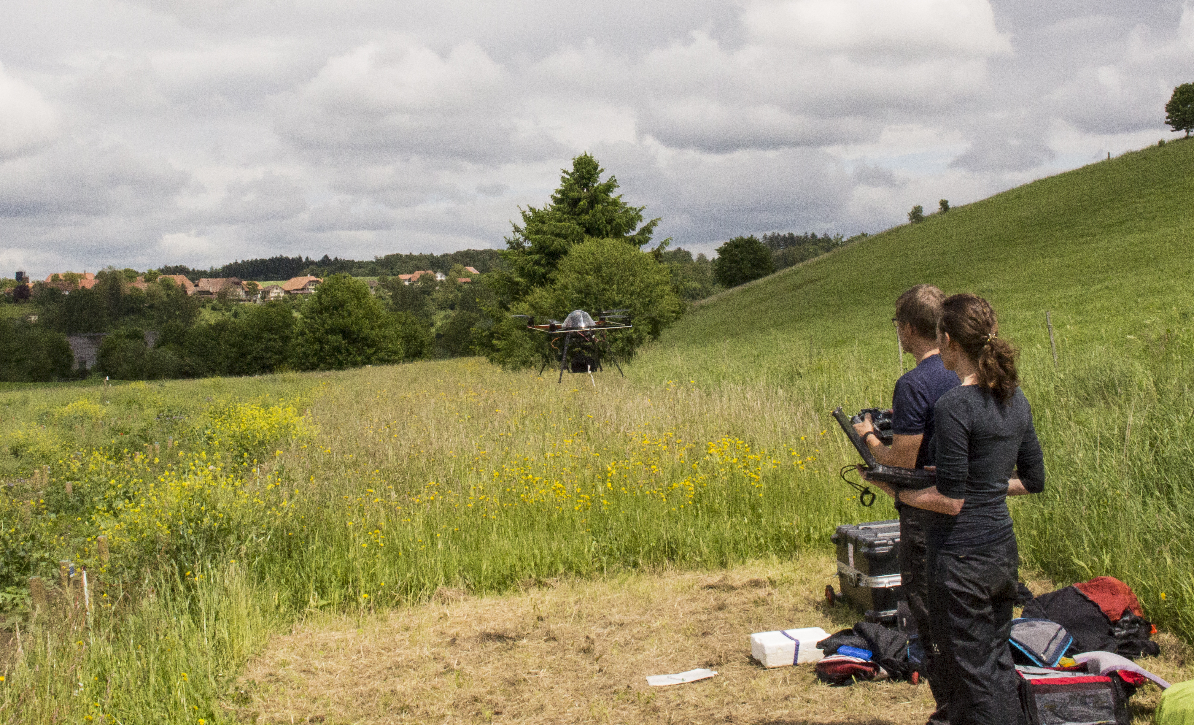
- Which practicalities do I need to consider during field work? What equipment should I bring to the field? How can I access my field site?

